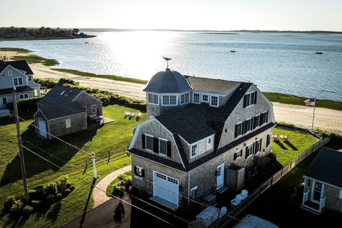
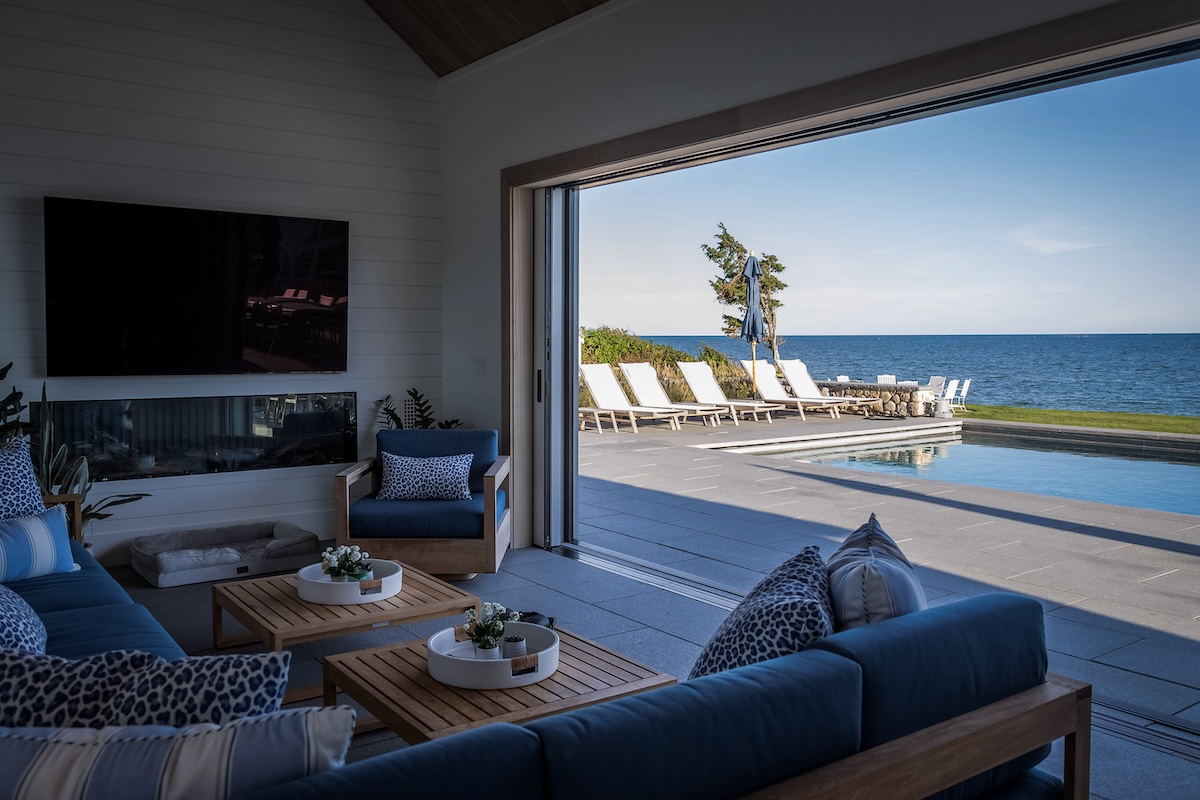
Cape Cod's waterfront beauty is legendary - sweeping views, ocean breezes, and the rhythm of the tides make these properties feel like a true escape. But that same coastline is dynamic and constantly reshaping itself. Coastal erosion and bluff or soil instability are ongoing realities here, driven by wave action, powerful nor'easters, storm surges, and accelerating sea-level rise. Many homeowners and builders understandably focus on the vision - the home, the deck, the path to the beach - but underestimating these natural processes can lead to unexpected challenges during or after construction.
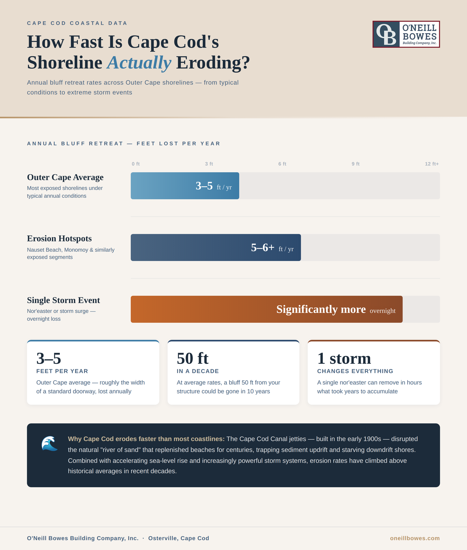
Annual erosion rates average 3–5 feet along much of the Outer Cape, with hotspots like Nauset Beach or parts of Monomoy seeing 5–6 feet or more in some years. Extreme events can strip significantly more overnight. The "river of sand" system - the longshore transport that moves sediment along the shore - plays a central role. Human interventions, such as the Cape Cod Canal jetties built in the early 1900s, interrupt this flow, trapping sand updrift and starving downdrift beaches of natural replenishment. Inlet migration, reduced sediment supply, and past development (man-made fill or altered soils) can expose unstable layers like peat beds, saturated mud, or water-table issues, complicating foundations and stability.
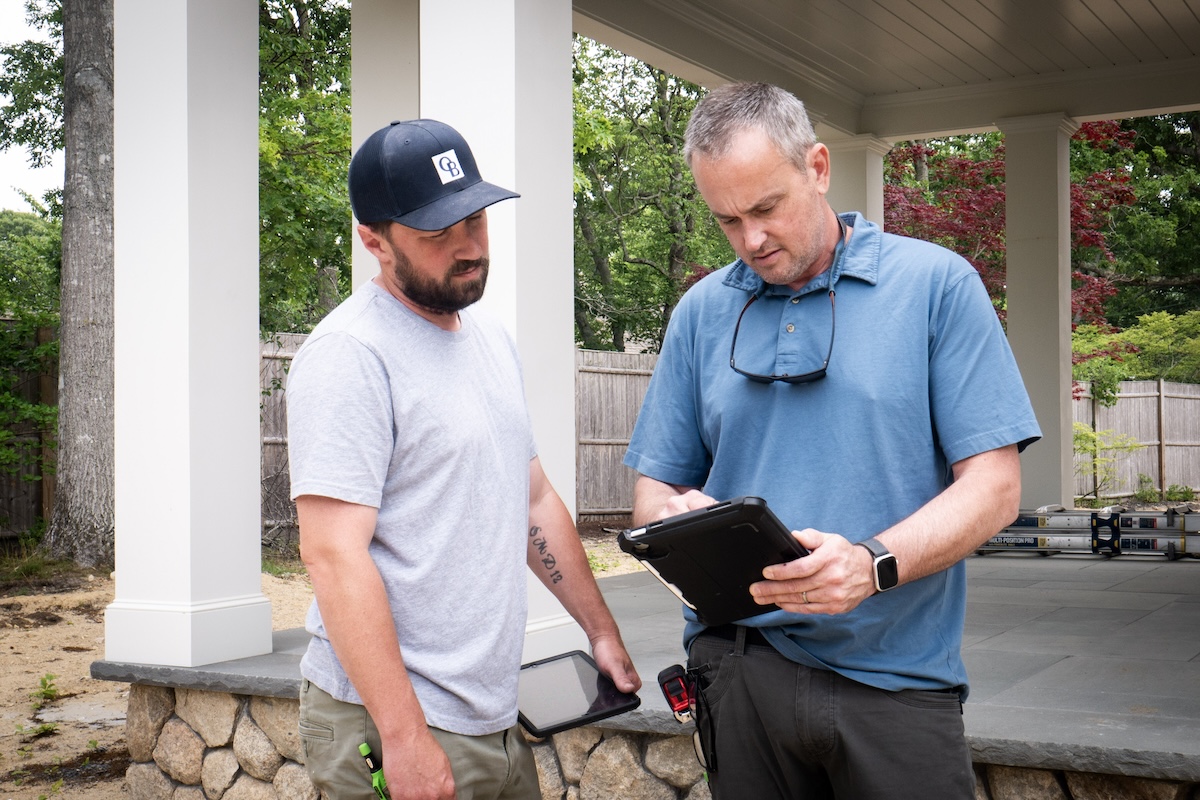
At O'Neill Bowes, we’ve guided numerous waterfront projects over our 25+ years of combined experience and learned that early awareness and proactive planning make all the difference. This article shares what every homeowner needs to know before building or renovating on Cape Cod's coast - from understanding erosion basics and key regulatory constraints to proven mitigation strategies and real-world examples. Our focus is always collaborative: assessing risks early, respecting environmental protections, and delivering solutions that safeguard your vision and investment while adapting to the site's unique realities.
We’ll cover erosion fundamentals, site-specific challenges, compliant and nature-based mitigation approaches, a representative Mashpee case study, and how ongoing monitoring ensures long-term stability.
Cape Cod’s coastline is one of the most dynamic shorelines in the world, shaped by a natural process, the “river of sand.” This longshore transport system moves sediment along the shore from northwest to southeast, replenishing beaches and bluffs over time. It’s a self-regulating mechanism that has sustained the Outer Cape for centuries - but human interventions and modern changes have disrupted the flow.
The Cape Cod Canal jetties - completed in the early 20th century - fundamentally altered how sediment moves along the shore, accumulating sand on the updrift side while leaving downdrift beaches chronically under-supplied. Pair that with inlet migration, declining upstream sediment sources, and decades of accelerating sea-level rise, and the math is straightforward: the shore retreats. Along the Outer Cape, that retreat averages 3–5 feet annually under normal conditions. At erosion hotspots like Nauset Beach and the Monomoy shoreline, the number climbs to 5–6 feet or more in a given year — and a single severe nor'easter can undo in hours what took years to accumulate.
Bluff and soil instability add another layer of complexity. Unstable soils - unexpected peat beds, man-made fill from past development, or saturated muddy strata above the water table - can undermine foundations, leading to settling, cracking, or the need for costly retrofits if not identified early. In a recent tear-down/rebuild, we encountered a 30-inch peat layer. These conditions are not naturally occurring everywhere, but when present, they require careful diagnosis and engineering solutions.
Early awareness of these realities matters because it allows for proactive planning rather than reactive fixes mid-project. Understanding the “river of sand,” erosion patterns, and potential soil challenges helps homeowners, builders, and engineers choose appropriate sites, foundation methods, and mitigation strategies from the outset. When addressed collaboratively and early, these factors become manageable parts of the process - protecting both the project timeline and the long-term stability of the home.
Cape Cod’s coastal regulations are designed to protect fragile shorelines, wetlands, and habitats while allowing responsible development. For homeowners planning a waterfront build or renovation, understanding these rules early is essential - they shape site layout, construction methods, and long-term project success.
Town Conservation Commissions enforce the Massachusetts Wetlands Protection Act, establishing buffer zones typically 50 or 100 feet from mean high tide (or from bordering vegetated wetlands, salt marshes, or coastal banks). These buffers restrict or require special permits for work within them, including structures, grading, vegetation removal, or hardscaping. Steepness and grade of the bluff or embankment are also assessed - steeper slopes often trigger more stringent protections to prevent accelerated erosion or habitat disruption.
During construction, compliance focuses on minimizing impact. In practice, compliant construction on a coastal site looks like this: erosion barriers go up before ground is broken, heavy equipment stays well clear of embankment edges, and stormwater is actively managed - channeled through gutters and routed to dry wells rather than allowed to sheet across exposed soil toward the bluff. Most Cape Cod Conservation Commissions also require formal site monitoring throughout the build, creating a documented record that erosion and habitat conditions are being actively managed, not just passively hoped for.
These rules are not roadblocks - they are safeguards that protect both the project and the environment. Early collaboration with the Conservation Commission, civil engineer, and wetland specialist helps identify compliant paths from the beginning. By respecting buffers, controlling runoff, and monitoring ongoing conditions, homeowners can build or renovate with confidence, knowing the work aligns with long-term shoreline stability and regulatory approval.
This proactive approach - understanding constraints upfront and incorporating protective measures - ensures the project moves smoothly, preserves natural features, and supports the lasting value of the home.
When building or renovating on Cape Cod’s dynamic coastline, mitigation strategies must balance shoreline protection, habitat preservation, regulatory compliance, and the client’s vision. The good news is that effective, proven approaches exist - combining nature-based solutions with thoughtful engineering to create long-term stability without compromising design.
Nature-based strategies remain one of the most sustainable ways to armor bluffs and beaches over time. Planting native vegetation (beach grass, rose, bayberry) and supporting dune restoration helps anchor sand and reduce wind and wave erosion. These methods mimic natural processes, improve habitat for wildlife, and often meet or exceed Conservation Commission requirements. When paired with proper grading and drainage, native plantings create a living buffer that strengthens the shoreline gradually and requires minimal ongoing intervention.
Engineered solutions are essential when soil conditions or site constraints demand immediate, reliable bearing capacity. Helical piles are among the most effective tools in a Cape Cod builder's kit for exactly this reason - they thread down through compromised soil layers to find solid bearing without the heavy excavation that would destabilize a bluff edge or disturb a protected habitat zone. The Mashpee rebuild brought this into sharp focus. What should have been routine excavation revealed a 30-inch layer of peat - not naturally occurring, but a remnant of how that neighborhood was originally developed decades earlier. Below it sat a saturated, unstable zone riding the water table. A geotechnical engineer confirmed what we suspected: conventional footings weren't viable. The solution was helical piles - a crushed stone base laid across the cleared site, screw piles driven deep until the soil refused to give, tops leveled, cavities filled with concrete. Stable, low-disturbance, and built to last. This approach provided dependable support while minimizing impact to the surrounding area.
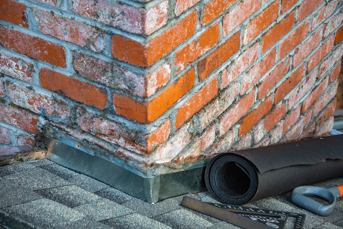
Site protection during construction is equally critical to prevent temporary erosion or habitat disruption. Standard measures include silt fencing and hay bales to contain runoff and sediment, strict limits on vehicle access near the embankment edge, and robust stormwater controls (gutters, dry wells, and proper grading) to direct water away from the bluff. Monitoring - often required by town Conservation Commissions - ensures ongoing compliance and allows quick adjustments if conditions change.
These strategies are not one-size-fits-all. We work closely with civil engineers, geotechnical specialists, and Conservation officials to tailor them to the site’s grade, buffer zones, and the client’s goals. By combining nature-based armor, precise engineering, and careful site management, we protect both the project and the environment - delivering a waterfront home that stands strong for decades.
Every waterfront project on Cape Cod is unique, shaped by the site’s specific conditions, regulatory requirements, and the client’s vision for their home. O'Neill Bowes approaches these builds through close collaboration with the full team - ensuring protection, compliance, and design intent work together seamlessly.
The process begins with an early geotechnical assessment. A qualified engineer evaluates soil layers, water table, bearing capacity, and potential instability (peat, fill, or saturated zones). This data, combined with input from the civil engineer and Conservation Commission guidelines, informs foundation choices and site planning from the outset. We bring these experts together early so the architect can design within the real constraints, avoiding surprises that could require major revisions later.
Throughout planning and construction, we maintain transparent discussions with the client. We present clear options - from nature-based vegetation and dune restoration to engineered solutions like helical piles - explaining how each balances shoreline stability, habitat preservation, and the desired aesthetic or function. No approach is one-size-fits-all; we adapt to any design preference while meeting town buffers, stormwater rules, and ongoing monitoring requirements.
Weekly site checks and stormwater management (gutters, dry wells, grading) continue during the build to protect the bluff and habitat. Post-construction, we ensure the owner understands long-term maintenance to sustain stability.
Our promise is straightforward: by working collaboratively - with engineers, Conservation officials, and the client - we deliver solutions that safeguard the shoreline, respect the environment, and fully realize your vision for a beautiful, enduring waterfront home.
Coastal erosion on Cape Cod is a dynamic, ongoing process - shaped by the “river of sand,” sea-level rise, storm events, and site-specific soil conditions - but it is manageable with early knowledge and layered strategies. Average annual bluff retreat of 3–5 feet (higher in hotspots) and unexpected soil layers like peat or saturated mud can influence foundation design and long-term stability, yet proactive assessment, regulatory compliance, nature-based armor, and thoughtful engineering turn these factors into planned elements rather than surprises.
At O'Neill Bowes Building Company, we serve as proactive, collaborative partners for waterfront projects. We bring geotechnical insight, civil engineering coordination, Conservation Commission alignment, and transparent client discussions to every build or renovation. Our approach balances shoreline protection, habitat preservation, and your vision - delivering homes that stand strong while respecting the Cape’s natural systems.
•••
Planning a project on Cape Cod?
Call Nick anytime to discuss: 774.487.0475